Killamonagh Village - Map
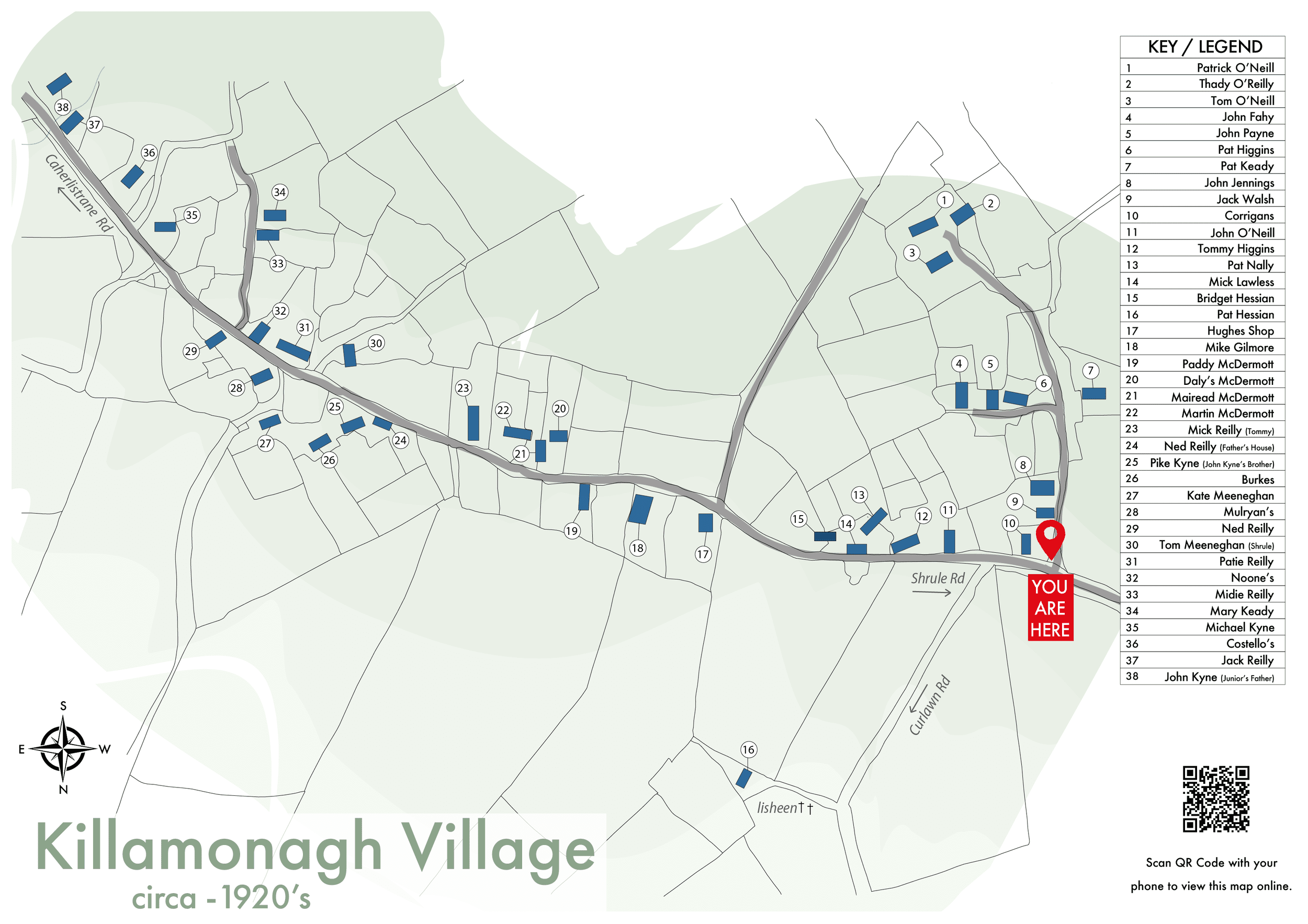
CIRCA 1920’S
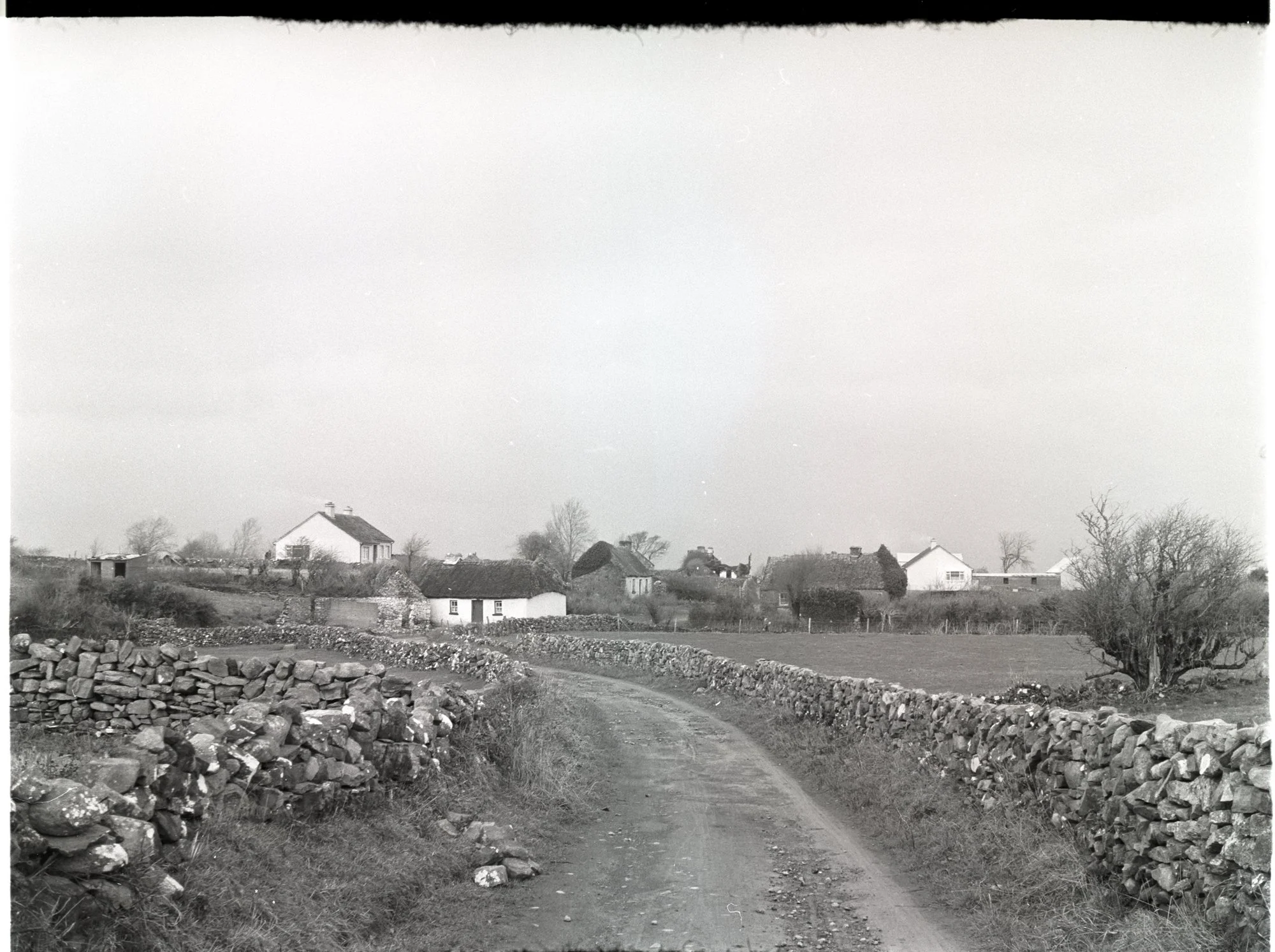
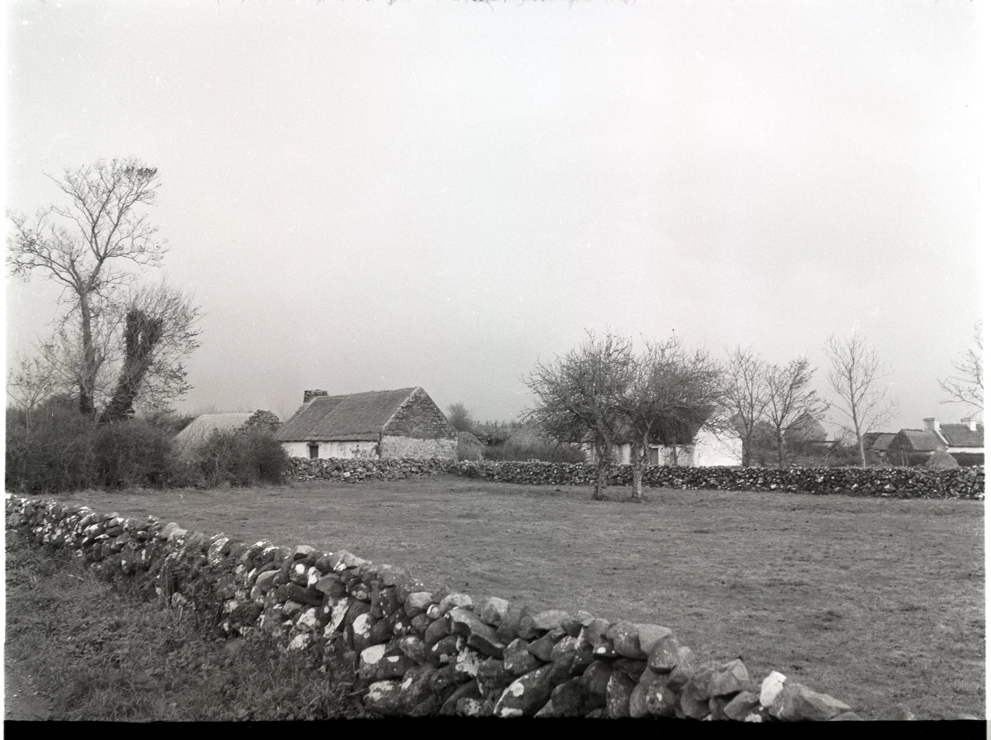
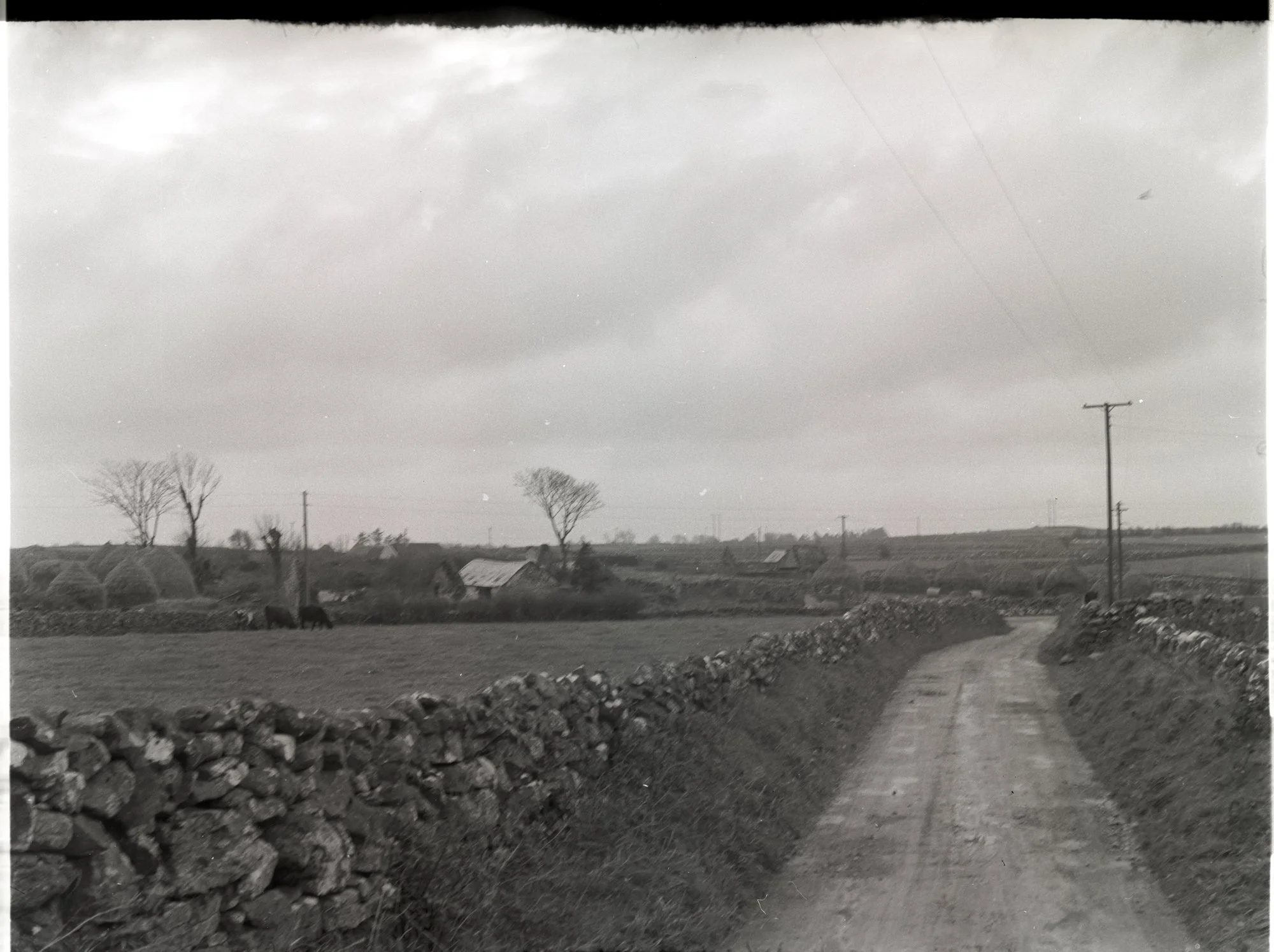
Photographs from the area
-
![]()
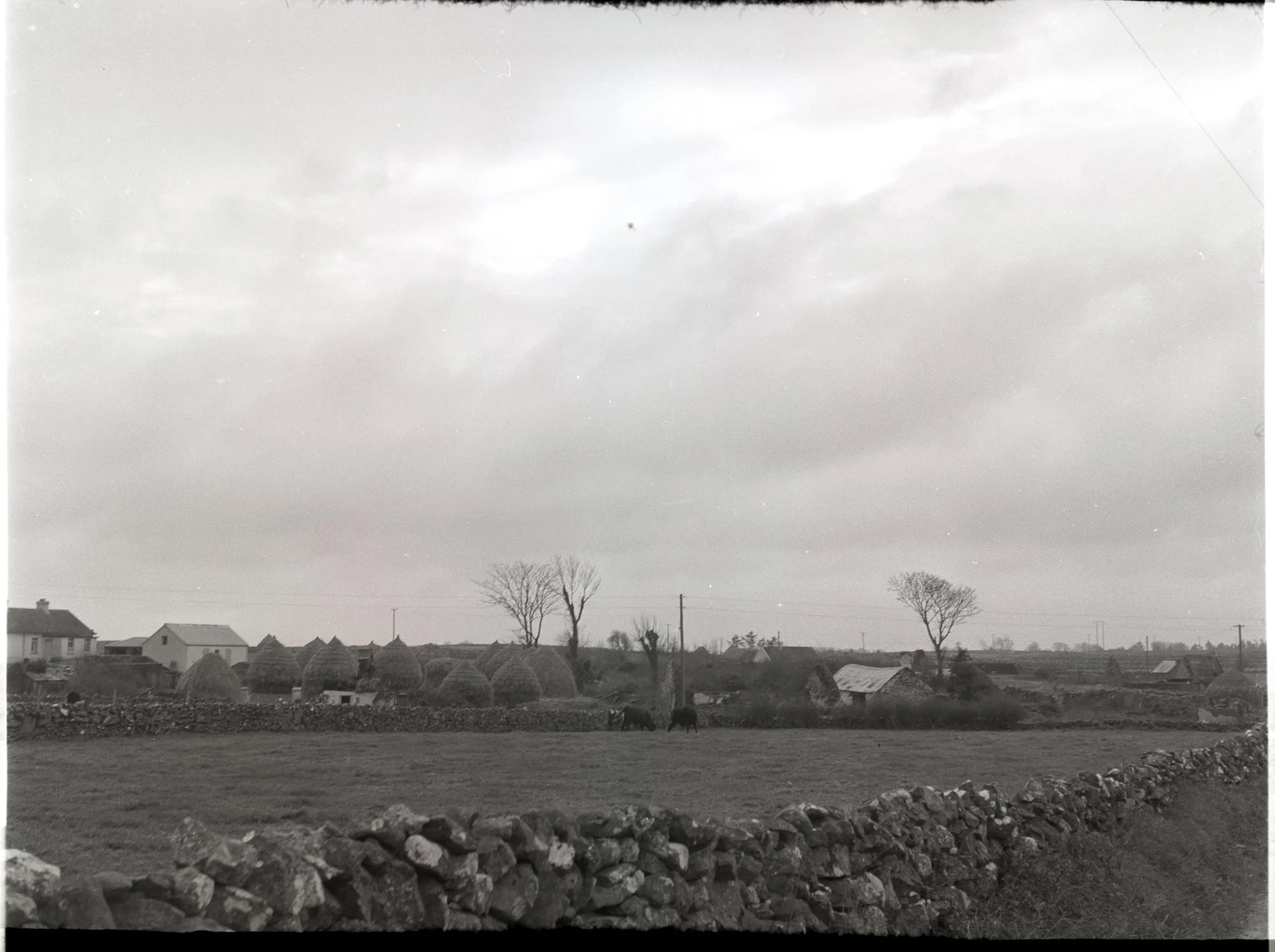
November 1965 - The Photographic Collection by Dúchas © National Folklore Collection, UCD is licensed under CC BY-NC 4.0.
-
![]()
November 1965 - The Photographic Collection by Dúchas © National Folklore Collection, UCD is licensed under CC BY-NC 4.0.
-
![]()
November 1965 - The Photographic Collection by Dúchas © National Folklore Collection, UCD is licensed under CC BY-NC 4.0.
-
![]()
November 1965 - The Photographic Collection by Dúchas © National Folklore Collection, UCD is licensed under CC BY-NC 4.0.
-
![]()
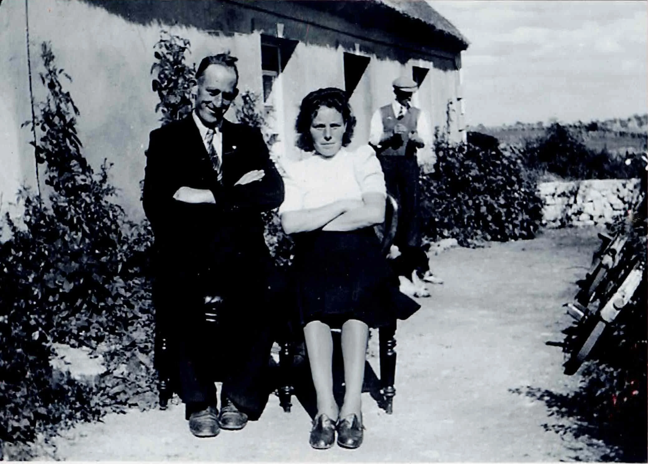
Pat Nally + Bridie (Meeneghan) Nally
Want to add your photos?
Have you some photos you would like to share to this page.
Please fill out the form below and add files or email info@michellenally.com